LinkedIn

Fits Traffic logo

Computer Vision Solution for Transportation

Fits Vision is a solution that can make a difference to your efforts of making roads safer and mobility management more efficient.

Our software uses videos or images produced by your cameras to see, understand and extract valuable insights from what happens on the roads in order to raise your overall capabilities.

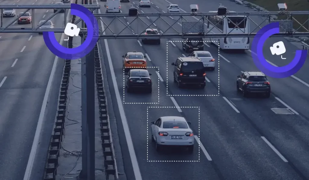
Night with cars on the street

For Toll-road Operators​

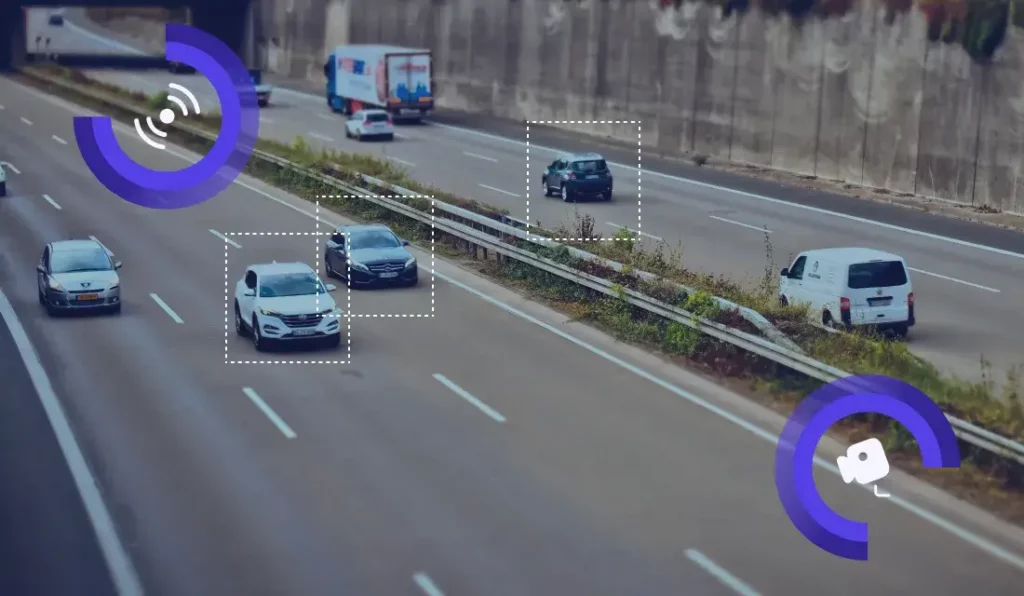
Computer Vision Solution for Transportation whit multiple cars on the road

Traffic flow counting and classification

Fits Vision enables vehicle detection and tracking on multi-lane-free-flow tolling lanes to facilitate the Electronic Toll Collection process. Depending on the tolling accuracy requirements, we can definitely complement or even replace expensive LIDAR solutions that are being used for tracking and classification purposes.
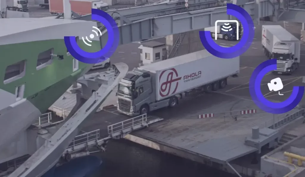
Computer Vision Solution for Transportation where truck is driving on cargo ship

Vehicle detection, tracking on MLFF tolling lanes

Fits Vision enables vehicle detection and tracking on multi-lane-free-flow tolling lanes to facilitate the Electronic Toll Collection process. Depending on the tolling accuracy requirements, we can definitely complement or even replace expensive LIDAR solutions that are being used for tracking and classification purposes.

For Traffic Management Centres

Computer Vision Solution for Transportation whit multiple cars on the road

Traffic flow counting and classification

Fits Vision enables vehicle detection and tracking on multi-lane-free-flow tolling lanes to facilitate the Electronic Toll Collection process. Depending on the tolling accuracy requirements, we can definitely complement or even replace expensive LIDAR solutions that are being used for tracking and classification purposes.
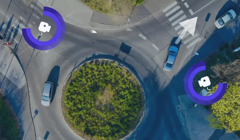
Computer Vision Solution for Transportation Cars going in circle

Intersection monitoring​

Fits Vision enables the capture and monitoring of a traffic flow on intersections in the city.

We enrich your existing camera infrastructure and enable you to:
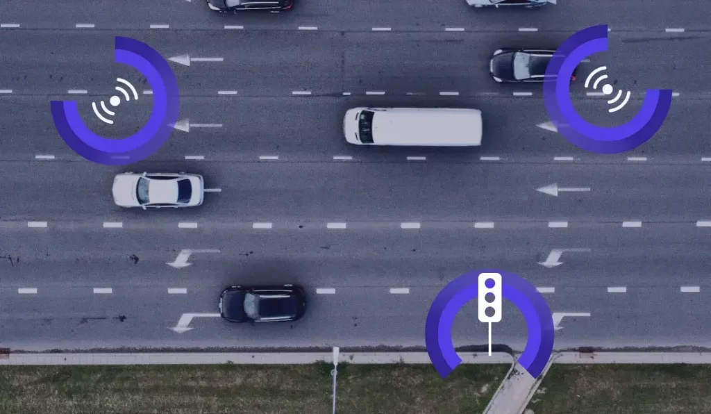
  • count traffic by direction with high accuracy rate
  • monitor left turn compliance
  • detect stopped vehicles and automate accident detection
  • feed that data to support smart traffic lights or other decision-making systems in traffic management
Traffic & Infrastructure

For Law Enforcement​​ - Intersection monitoring​

Fits Vision can combine capabilities like automatic number plate recognition, vehicle type classification, make and model recognition to enable Law Enforcement Agencies to identify and deal more efficiently with suspicious vehicles. By cross-correlating data from central vehicle registries and what can be observed on the roads, it is possible to flag suspicious vehicles in an automated fashion.​
Computer Vision Solution for Rail Roads

Railway monitoring​

Fits vision for railways software automates the processing of camera feeds (still or video images) to create situational awareness at level crossings, e.g. vehicles crossing on red lights. We enrich your existing camera infrastructure and enable you to:
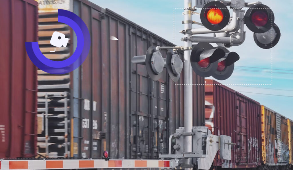
  • Record and automatically report road traffic regulation violations
  • Capture a stopped vehicle or another foreign object in the crossing area
  • Recognize vehicle number plates and country issuer
  • Count and discern vehicles by type passing the level crossing
  • Calculate and analyse traffic passing level crossing after opening the barrier
  • Integrations with other customer systems and state registers (for example vehicle register)
Road quality detection

Road surface quality monitoring

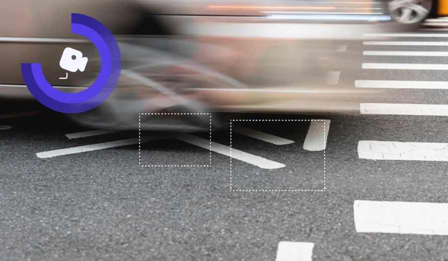
Road surface quality monitoring for automated road infrastructure damage accounting that uses AI-based defect identification techniques, it is possible to detect different types of road defects (potholes, cracks, and marking) in real time, in an automated and efficient way, with greater accuracy and consistency compared to manual inspections. This can help road maintenance authorities to formulate quick and optimised measures for road infrastructure repairs. A more sophisticated solution can also detect and indicate the location of pavement defects using GPS.
road sign detection with computer vision

Road sign recognition

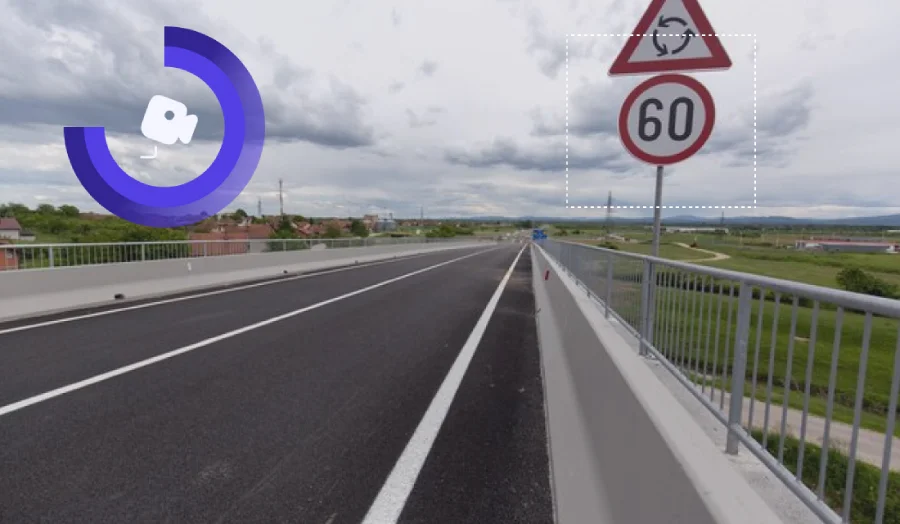
Fits Vision provides road sign recognition in the city, region or on country and forest roads with high accuracy detection and recognition rates. All data is assigned with GPS coordinates for further integration into your asset management or GIS system. We can help automate the asset management process, from the day-to-day maintenance process, to identifying whether a road sign is where it should be and whether the sign’s condition meets requirements.

Implementation process of Fits Vision

01

Challenge defined
We identify and describe what you’d like to achieve

02

Proof of concept
We design and execute a small exercise to demonstrate functionality and verify feasibility

03

Pilot
After feasibility has been confirmed, we fine-tune and pilot the solution in real-life working conditions.

04

End soultion
Integration of Technology, User Experience and Systems to enable a fully working solution.

Our philosophy

We believe in tailor-made solutions. Video and image quality, lightning, weather conditions and other factors play a large role in the quality of outcome, therefore “one size fits all” approach does not work when you want to achieve highly accurate and correctly inferred computer vision results that truly work and add value.

We are here to help

We're here to help you with any questions you have - from how to get started to questions specific to your situation.